
Go Cong Town topographic map
Interactive map
Click on the map to display elevation.
About this map
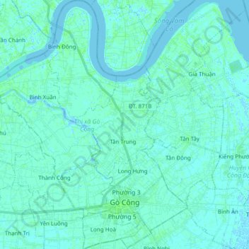
Name: Go Cong Town topographic map, elevation, terrain.
Location: Go Cong Town, Tiền Giang Province, Vietnam (10.33475 106.58406 10.48394 106.71487)
Average elevation: 7 ft
Minimum elevation: -10 ft
Maximum elevation: 26 ft
Other topographic maps
Click on a map to view its topography, its elevation and its terrain.