
岭西水库 topographic map
Interactive map
Click on the map to display elevation.
About this map
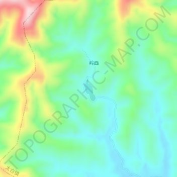
Name: 岭西水库 topographic map, elevation, terrain.
Location: 岭西水库, 岭西, 太白镇, 婺源县, 上饶市, 江西省, 中国 (29.08973 117.60314 29.09348 117.60509)
Average elevation: 476 ft
Minimum elevation: 184 ft
Maximum elevation: 1,112 ft