
Souk El Khemis topographic map
Interactive map
Click on the map to display elevation.
About this map
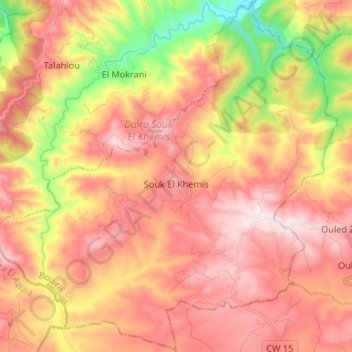
Name: Souk El Khemis topographic map, elevation, terrain.
Location: Souk El Khemis, Daïra Souk El Khemis, Bouira, 10420, Algérie (36.34065 3.56002 36.44634 3.69243)
Average elevation: 2,175 ft
Minimum elevation: 919 ft
Maximum elevation: 3,064 ft