
Bolong topographic map
Interactive map
Click on the map to display elevation.
About this map
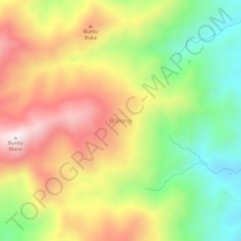
Name: Bolong topographic map, elevation, terrain.
Location: Bolong, South Sulawesi, Indonesia (-2.82180 120.06740 -2.78180 120.10740)
Average elevation: 1,434 ft
Minimum elevation: 312 ft
Maximum elevation: 2,644 ft