
Danforth topographic map
Interactive map
Click on the map to display elevation.
About this map
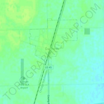
Name: Danforth topographic map, elevation, terrain.
Location: Danforth, Iroquois County, Illinois, États-Unis d'Amérique (40.81083 -87.98572 40.82813 -87.96918)
Average elevation: 650 ft
Minimum elevation: 630 ft
Maximum elevation: 666 ft