
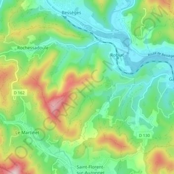
Robiac-Rochessadoule topographic map
Interactive map
Click on the map to display elevation.
About this map
Name: Robiac-Rochessadoule topographic map, elevation, terrain.
Average elevation: 1,004 ft
Minimum elevation: 482 ft
Maximum elevation: 2,136 ft