
Mancak topographic map
Interactive map
Click on the map to display elevation.
About this map
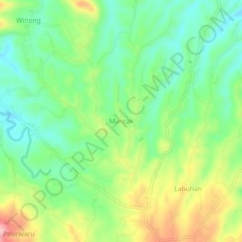
Name: Mancak topographic map, elevation, terrain.
Location: Mancak, Serang, Banten, 42114, Indonesia (-6.09840 105.96812 -6.05840 106.00812)
Average elevation: 351 ft
Minimum elevation: 157 ft
Maximum elevation: 679 ft