
Puga topographic map
Interactive map
Click on the map to display elevation.
About this map
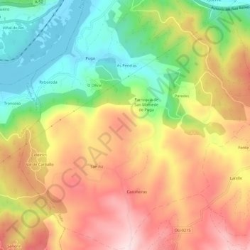
Name: Puga topographic map, elevation, terrain.
Location: Puga, Toén, Ourense, Galicia, Spain (42.29515 -8.02332 42.33558 -7.97067)
Average elevation: 860 ft
Minimum elevation: 289 ft
Maximum elevation: 1,417 ft