
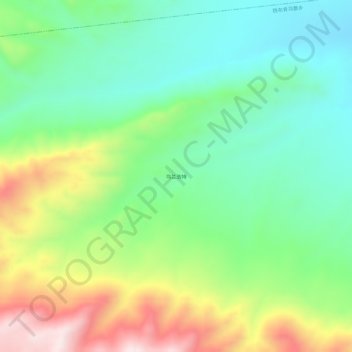
乌兰浩特 topographic map
Interactive map
Click on the map to display elevation.
About this map
Name: 乌兰浩特 topographic map, elevation, terrain.
Location: 乌兰浩特, 铁布肯乌散乡, 和布克赛尔蒙古自治县, 塔城地区, 新疆维吾尔自治区, 中国 (46.74240 84.90069 46.78240 84.94069)
Average elevation: 6,283 ft
Minimum elevation: 5,617 ft
Maximum elevation: 7,520 ft