
Val-d'Oire-et-Gartempe topographic map
Interactive map
Click on the map to display elevation.
About this map
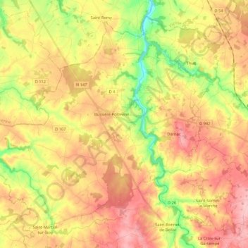
Name: Val-d'Oire-et-Gartempe topographic map, elevation, terrain.
Average elevation: 682 ft
Minimum elevation: 404 ft
Maximum elevation: 919 ft