
Doubs topographic map
Interactive map
Click on the map to display elevation.
About this map
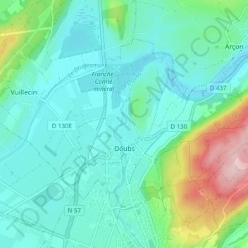
Name: Doubs topographic map, elevation, terrain.
Average elevation: 2,779 ft
Minimum elevation: 2,605 ft
Maximum elevation: 3,406 ft
Son altitude moyenne est de 800 mètres.