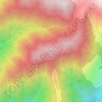
Triund Hill topographic map
Interactive map
Click on the map to display elevation.
About this map
Name: Triund Hill topographic map, elevation, terrain.
Average elevation: 9,252 ft
Minimum elevation: 6,772 ft
Maximum elevation: 10,827 ft

Click on the map to display elevation.
Name: Triund Hill topographic map, elevation, terrain.
Average elevation: 9,252 ft
Minimum elevation: 6,772 ft
Maximum elevation: 10,827 ft