Braemar topographic map
Click on the map to display elevation.
Braemar
Braemar /breɪˈmɑːr/ (listen) is a village in Aberdeenshire, Scotland, around 58 miles (93 km) west of Aberdeen in the Highlands. It is the closest significantly-sized settlement to the upper course of the River Dee sitting at an elevation of 339 metres (1,112 ft).
About this map
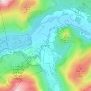
Name: Braemar topographic map, elevation, terrain.
Location: Braemar, Aberdeenshire, Scotland, AB35 5YN, United Kingdom (56.98582 -3.41971 57.02582 -3.37971)
Average elevation: 1,460 ft
Minimum elevation: 1,040 ft
Maximum elevation: 2,589 ft
Other topographic maps
Click on a map to view its topography, its elevation and its terrain.