
甪直镇 topographic map
Interactive map
Click on the map to display elevation.
About this map
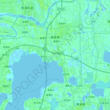
Name: 甪直镇 topographic map, elevation, terrain.
Location: 甪直镇, 吴中区, 苏州市, 江苏省, 中国 (31.17895 120.73366 31.31268 120.89745)
Average elevation: 7 ft
Minimum elevation: -16 ft
Maximum elevation: 33 ft
Other topographic maps
Click on a map to view its topography, its elevation and its terrain.