
Cherain topographic map
Interactive map
Click on the map to display elevation.
About this map
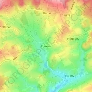
Name: Cherain topographic map, elevation, terrain.
Location: Cherain, Bastenaken, Luxemburg, Wallonië, 6674, België (50.16067 5.84466 50.20067 5.88466)
Average elevation: 1,430 ft
Minimum elevation: 1,247 ft
Maximum elevation: 1,660 ft