
云雾村 topographic map
Interactive map
Click on the map to display elevation.
About this map
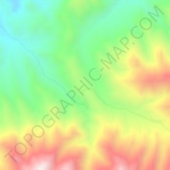
Name: 云雾村 topographic map, elevation, terrain.
Location: 云雾村, 代县, 忻州市, 山西省, 中国 (39.09454 113.16817 39.09592 113.17007)
Average elevation: 4,423 ft
Minimum elevation: 3,425 ft
Maximum elevation: 5,768 ft
Other topographic maps
Click on a map to view its topography, its elevation and its terrain.