
Inca topographic map
Interactive map
Click on the map to display elevation.
About this map
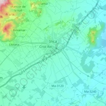
Name: Inca topographic map, elevation, terrain.
Location: Inca, Raiguer, Islas Baleares, España (mare territorial) (39.67071 2.87805 39.75082 2.99970)
Average elevation: 410 ft
Minimum elevation: 164 ft
Maximum elevation: 2,054 ft