
老罐河 topographic map
Interactive map
Click on the map to display elevation.
About this map
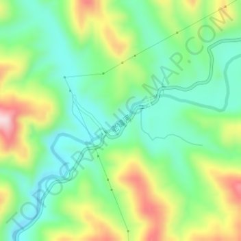
Name: 老罐河 topographic map, elevation, terrain.
Location: 老罐河, 三川镇, 栾川县, 洛阳市, 河南省, 中国 (33.90797 111.34559 33.91213 111.35204)
Average elevation: 4,160 ft
Minimum elevation: 3,816 ft
Maximum elevation: 4,783 ft