
Chenoweth topographic map
Interactive map
Click on the map to display elevation.
About this map
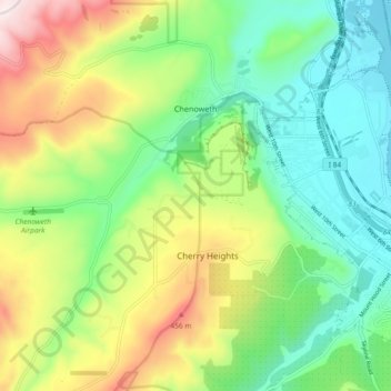
Name: Chenoweth topographic map, elevation, terrain.
Location: Chenoweth, Wasco County, Oregon, USA (45.58121 -121.28163 45.64547 -121.19919)
Average elevation: 692 ft
Minimum elevation: 59 ft
Maximum elevation: 1,854 ft