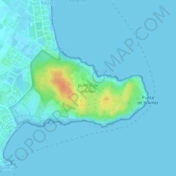
punta de n’Amer topographic map
Interactive map
Click on the map to display elevation.
About this map
Name: punta de n’Amer topographic map, elevation, terrain.
Average elevation: 13 ft
Minimum elevation: -3 ft
Maximum elevation: 121 ft

Click on the map to display elevation.
Name: punta de n’Amer topographic map, elevation, terrain.
Average elevation: 13 ft
Minimum elevation: -3 ft
Maximum elevation: 121 ft