An der Fähre topographic map
Interactive map
Click on the map to display elevation.
About this map
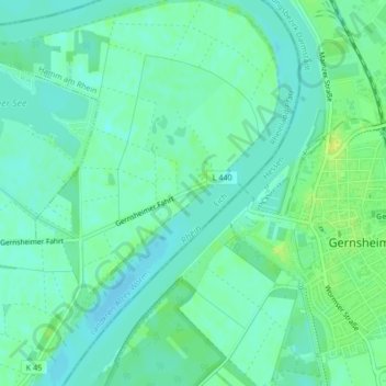
Name: An der Fähre topographic map, elevation, terrain.
Average elevation: 292 ft
Minimum elevation: 272 ft
Maximum elevation: 325 ft

Click on the map to display elevation.
Name: An der Fähre topographic map, elevation, terrain.
Average elevation: 292 ft
Minimum elevation: 272 ft
Maximum elevation: 325 ft