
Gauro topographic map
Interactive map
Click on the map to display elevation.
About this map
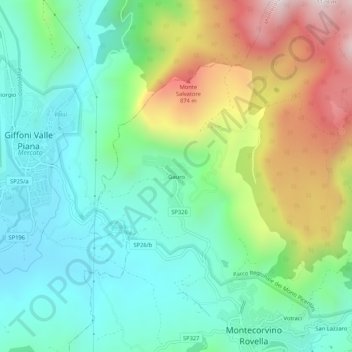
Name: Gauro topographic map, elevation, terrain.
Location: Gauro, SA, CAM, Italia (40.69400 14.94451 40.73400 14.98451)
Average elevation: 1,404 ft
Minimum elevation: 443 ft
Maximum elevation: 3,442 ft