
Sunburst topographic map
Interactive map
Click on the map to display elevation.
About this map
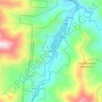
Name: Sunburst topographic map, elevation, terrain.
Location: Sunburst, Haywood County, North Carolina, USA (35.39066 -82.95208 35.43066 -82.91208)
Average elevation: 3,609 ft
Minimum elevation: 2,818 ft
Maximum elevation: 5,105 ft