
Canaleja topographic map
Interactive map
Click on the map to display elevation.
About this map
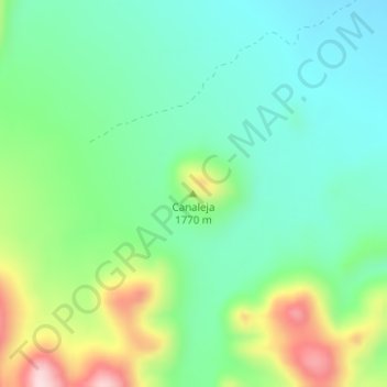
Name: Canaleja topographic map, elevation, terrain.
Location: Canaleja, Ignacio Zaragoza, Chihuahua, México (29.85174 -107.57839 29.85184 -107.57829)
Average elevation: 5,561 ft
Minimum elevation: 5,262 ft
Maximum elevation: 6,237 ft