
Glenhaven topographic map
Interactive map
Click on the map to display elevation.
About this map
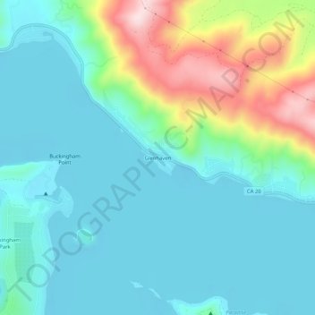
Name: Glenhaven topographic map, elevation, terrain.
Location: Glenhaven, Lake County, California, 95443, USA (39.00628 -122.75304 39.04628 -122.71304)
Average elevation: 1,565 ft
Minimum elevation: 1,299 ft
Maximum elevation: 2,438 ft