
Meraj topographic map
Interactive map
Click on the map to display elevation.
About this map
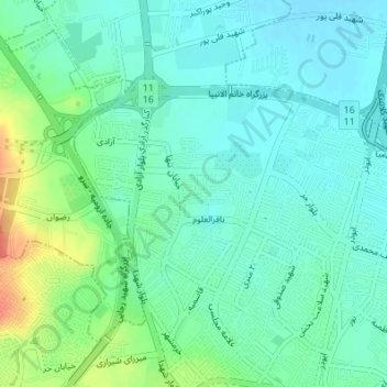
Name: Meraj topographic map, elevation, terrain.
Average elevation: 4,386 ft
Minimum elevation: 4,341 ft
Maximum elevation: 4,508 ft
Other topographic maps
Click on a map to view its topography, its elevation and its terrain.
Urmia
Iran > West Azerbaijan Province > Urmia
Urmia, بخش مرکزی, Urumia County, West Azerbaijan Province, 444655677, Iran
Average elevation: 4,787 ft