
Ampilatwatja topographic map
Interactive map
Click on the map to display elevation.
About this map
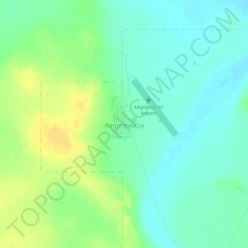
Name: Ampilatwatja topographic map, elevation, terrain.
Location: Ampilatwatja, Barkly Region, Northern Territory, Australia (-21.67724 135.20532 -21.63724 135.24532)
Average elevation: 1,302 ft
Minimum elevation: 1,266 ft
Maximum elevation: 1,358 ft