
Ballon d'Alsace topographic map
Interactive map
Click on the map to display elevation.
About this map
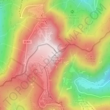
Name: Ballon d'Alsace topographic map, elevation, terrain.
Average elevation: 3,261 ft
Minimum elevation: 2,142 ft
Maximum elevation: 4,085 ft
De weg, die het Moezeldal in het noorden met het dal van de Savoureuse in het zuiden en de Doller in het oosten verbindt, voert op 1171 meter hoogte langs de top over een pas.