
Заволочицы topographic map
Interactive map
Click on the map to display elevation.
About this map
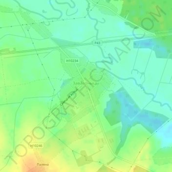
Name: Заволочицы topographic map, elevation, terrain.
Average elevation: 495 ft
Minimum elevation: 453 ft
Maximum elevation: 554 ft
Other topographic maps
Click on a map to view its topography, its elevation and its terrain.
Городок
Беларусь > Могилёвская область > Глусский район > Заволочицкий сельский Совет
Городок, Заволочицкий сельский Совет, Глусский район, Могилёвская область, Беларусь
Average elevation: 499 ft