
Mecheria topographic map
Interactive map
Click on the map to display elevation.
About this map
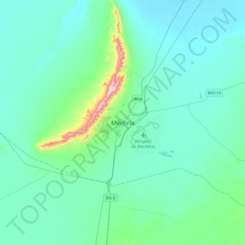
Name: Mecheria topographic map, elevation, terrain.
Location: Mecheria, daïra Mecheria, Naâma, 45100, RADP (33.38284 -0.43505 33.70284 -0.11505)
Average elevation: 3,717 ft
Minimum elevation: 3,458 ft
Maximum elevation: 5,636 ft