
Brookvale topographic map
Interactive map
Click on the map to display elevation.
About this map
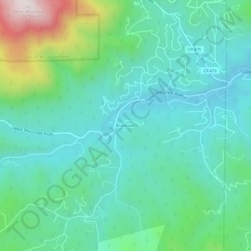
Name: Brookvale topographic map, elevation, terrain.
Location: Brookvale, Clear Creek County, Colorado, USA (39.60971 -105.43916 39.64971 -105.39916)
Average elevation: 8,002 ft
Minimum elevation: 7,395 ft
Maximum elevation: 10,039 ft