
Meyerode topographic map
Interactive map
Click on the map to display elevation.
About this map
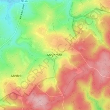
Name: Meyerode topographic map, elevation, terrain.
Location: Meyerode, Amel, Verviers, Luik, Wallonië, 4770, België (50.30884 6.16849 50.34884 6.20849)
Average elevation: 1,709 ft
Minimum elevation: 1,424 ft
Maximum elevation: 1,959 ft