Geolocate

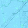
Sierpin topographic map

Click on the map to display elevation.

About this map
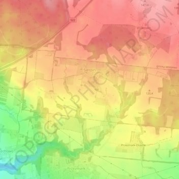
Name: Sierpin topographic map, elevation, terrain.

Location: Sierpin, gmina Elbląg, Elbląg County, Warmian-Masurian Voivodeship, Poland (54.13946 19.49729 54.15377 19.55216)

Average elevation: 361 ft

Minimum elevation: 135 ft

Maximum elevation: 479 ft

Other topographic maps

Click on a map to view its topography, its elevation and its terrain.
Gear up for your next adventure:

🚑Emergency Bivvies - Heat-reflective sleeping bags for survival situations
🎒Hydration Pack - Hands‑free water reservoir for long hikes
🌲Outdoor Survival Books - Best books on survival skills
🪶Fire Starter Kit - Reliable fire starter for survival and camping
🧭Orienteering Set - Complete compass and map reading kit

As an Amazon Associate, this site earns from qualifying purchases at no extra cost to you.