Geolocate

Colfiorito topographic map

Click on the map to display elevation.

About this map

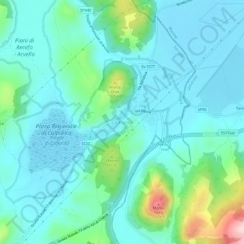
Name: Colfiorito topographic map, elevation, terrain.

Location: Colfiorito, Foligno, Perugia, Umbria, 06034, Italy (43.00695 12.87027 43.04695 12.91027)

Average elevation: 2,635 ft

Minimum elevation: 2,444 ft

Maximum elevation: 3,458 ft

Gear up for your next adventure:

🎒Trekking Poles - Sturdy poles for balance and stability on rough terrain
🦟Ultrasonic Repellers - Create a bug-free zone at your camp or rest stop
🍳Camping Cook Set - Complete cookware for outdoor meals
🧢Sun Protection Hats - Wide-brimmed and UPF-rated hats for high-altitude sun safety
🎒Trail Energy Bars - High‑calorie bars for hiking energy

As an Amazon Associate, this site earns from qualifying purchases at no extra cost to you.