
Kugti topographic map
Interactive map
Click on the map to display elevation.
About this map
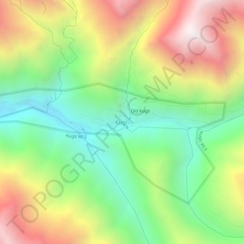
Name: Kugti topographic map, elevation, terrain.
Location: Kugti, Chamba, Himachal Pradesh, India (32.44930 76.68596 32.48930 76.72596)
Average elevation: 10,167 ft
Minimum elevation: 8,061 ft
Maximum elevation: 13,146 ft