
Bunree topographic map
Interactive map
Click on the map to display elevation.
About this map
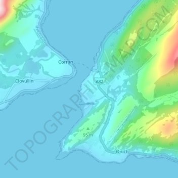
Name: Bunree topographic map, elevation, terrain.
Location: Bunree, Corran, Highland, Écosse, PH33 6SE, Royaume-Uni (56.69710 -5.25640 56.73710 -5.21640)
Average elevation: 174 ft
Minimum elevation: 0 ft
Maximum elevation: 1,434 ft