
洮南市 topographic map
Interactive map
Click on the map to display elevation.
About this map
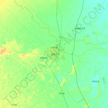
Name: 洮南市 topographic map, elevation, terrain.
Location: 洮南市, 光明街道, 洮南市, 白城市, 吉林省, 中国 (45.16898 122.62320 45.48898 122.94320)
Average elevation: 499 ft
Minimum elevation: 472 ft
Maximum elevation: 551 ft