
els Reguers topographic map
Interactive map
Click on the map to display elevation.
About this map
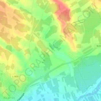
Name: els Reguers topographic map, elevation, terrain.
Location: els Reguers, Alcarràs, Segriá, Lérida, Cataluña, 25180, España (41.56588 0.52877 41.58588 0.54877)
Average elevation: 472 ft
Minimum elevation: 387 ft
Maximum elevation: 571 ft