Geolocate

Petrolia topographic map

Click on the map to display elevation.

About this map

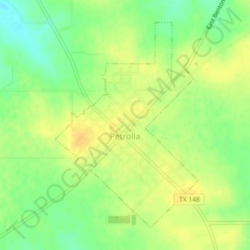
Name: Petrolia topographic map, elevation, terrain.

Location: Petrolia, Clay County, Texas, 76377, United States (34.00306 -98.24156 34.02527 -98.22291)

Average elevation: 984 ft

Minimum elevation: 932 ft

Maximum elevation: 1,020 ft

Clay County trails, hiking, mountain biking, running and outdoor activities

Other topographic maps

Click on a map to view its topography, its elevation and its terrain.

Charlie

United States > Texas > Clay County > Charlie

Average elevation: 951 ft

Henrietta

United States > Texas > Clay County > Henrietta > Henrietta

Average elevation: 892 ft

Gear up for your next adventure:

📖Nature Tracking Books - Learn to track wildlife and terrain
⛑️Personal Locator Beacon - Safety beacon for emergencies
🔭Stargazing Telescopes - Perfect for camping in low-light pollution areas shown on maps
🧥Men's Rain Shells - Premium waterproof and breathable jackets for mountain weather
🥾Women's Hiking Boots - Top-rated trail boots with ankle support and superior grip

As an Amazon Associate, this site earns from qualifying purchases at no extra cost to you.