
Cheshire topographic map
Interactive map
Click on the map to display elevation.
About this map
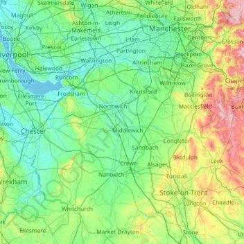
Name: Cheshire topographic map, elevation, terrain.
Location: Cheshire, England, United Kingdom (52.94721 -3.12828 53.48093 -1.97479)
Average elevation: 338 ft
Minimum elevation: 0 ft
Maximum elevation: 1,975 ft