
Old Radnor topographic map
Interactive map
Click on the map to display elevation.
About this map
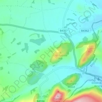
Name: Old Radnor topographic map, elevation, terrain.
Location: Old Radnor, Kinnerton, Powys, Wales, LD8 2RH, United Kingdom (52.20473 -3.12029 52.24473 -3.08029)
Average elevation: 722 ft
Minimum elevation: 571 ft
Maximum elevation: 1,345 ft