
Bandeira topographic map
Interactive map
Click on the map to display elevation.
About this map
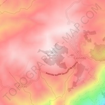
Name: Bandeira topographic map, elevation, terrain.
Location: Bandeira, Alijó, Vila Real, 5070-021, Portugal (41.22703 -7.47494 41.22713 -7.47484)
Average elevation: 1,791 ft
Minimum elevation: 338 ft
Maximum elevation: 2,211 ft
Other topographic maps
Click on a map to view its topography, its elevation and its terrain.