
石村 topographic map
Interactive map
Click on the map to display elevation.
About this map
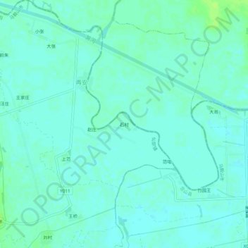
Name: 石村 topographic map, elevation, terrain.
Location: 石村, 仙踪镇, 含山县, 马鞍山市, 安徽省, 238100, 中国 (31.83853 117.99674 31.87853 118.03674)
Average elevation: 43 ft
Minimum elevation: 30 ft
Maximum elevation: 66 ft