
Larry W. Abernathy Waterfront Park topographic map
Interactive map
Click on the map to display elevation.
About this map
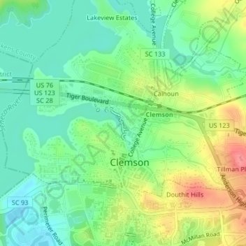
Name: Larry W. Abernathy Waterfront Park topographic map, elevation, terrain.
Average elevation: 712 ft
Minimum elevation: 617 ft
Maximum elevation: 876 ft