
González Ortega (Bañón) topographic map
Interactive map
Click on the map to display elevation.
About this map
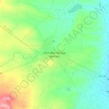
Name: González Ortega (Bañón) topographic map, elevation, terrain.
Location: González Ortega (Bañón), Villa de Cos, Zacatecas, México (23.13811 -102.51449 23.21811 -102.43449)
Average elevation: 6,716 ft
Minimum elevation: 6,549 ft
Maximum elevation: 7,054 ft