
Tirindaro topographic map
Interactive map
Click on the map to display elevation.
About this map
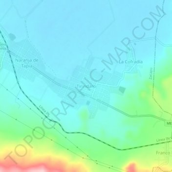
Name: Tirindaro topographic map, elevation, terrain.
Location: Tirindaro, Zacapu, Michoacán, México (19.75089 -101.76442 19.79089 -101.72442)
Average elevation: 6,621 ft
Minimum elevation: 6,499 ft
Maximum elevation: 7,172 ft
Other topographic maps
Click on a map to view its topography, its elevation and its terrain.