
Xintai topographic map
Interactive map
Click on the map to display elevation.
About this map
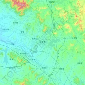
Name: Xintai topographic map, elevation, terrain.
Location: Xintai, Xintai City, Tai'an City, Shandong, 271200, PRC (35.74686 117.60243 36.06686 117.92243)
Average elevation: 873 ft
Minimum elevation: 486 ft
Maximum elevation: 3,232 ft