
Thank you for supporting this site ❤️
Make a donation
Make a donation
Gear up for your next adventure:
As an Amazon Associate, this site earns from qualifying purchases at no extra cost to you.
Ekpoma topographic map
Click on the map to display elevation.
Thank you for supporting this site ❤️
Make a donation
Make a donation
Gear up for your next adventure:
As an Amazon Associate, this site earns from qualifying purchases at no extra cost to you.
About this map
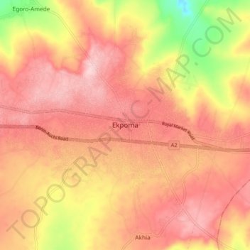
Name: Ekpoma topographic map, elevation, terrain.
Location: Ekpoma, Esan West, Edo State, Nigeria (6.70206 6.09900 6.78206 6.17900)
Average elevation: 1,083 ft
Minimum elevation: 620 ft
Maximum elevation: 1,322 ft
Thank you for supporting this site ❤️
Make a donation
Make a donation
Gear up for your next adventure:
As an Amazon Associate, this site earns from qualifying purchases at no extra cost to you.