
Warren Park topographic map
Interactive map
Click on the map to display elevation.
About this map
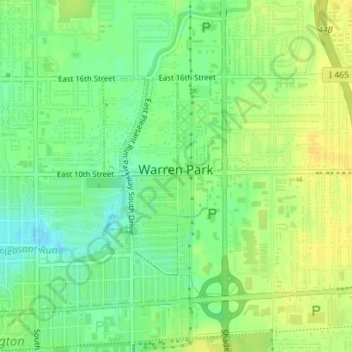
Name: Warren Park topographic map, elevation, terrain.
Location: Warren Park, Indiana, 46219, United States (39.77390 -86.05753 39.78907 -86.04561)
Average elevation: 840 ft
Minimum elevation: 797 ft
Maximum elevation: 873 ft