
La Gleize topographic map
Interactive map
Click on the map to display elevation.
About this map
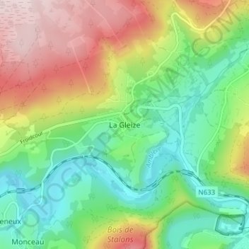
Name: La Gleize topographic map, elevation, terrain.
Location: La Gleize, Stoumont, Verviers, Luik, Wallonië, 4987, België (50.39121 5.82648 50.43121 5.86648)
Average elevation: 1,109 ft
Minimum elevation: 643 ft
Maximum elevation: 1,837 ft